OpenGeoCity Tanzania provides geospatial, AI, and data science solutions for smart urban development, environmental conservation, and data-driven decision-making through GIS mapping, remote sensing, AI analytics, and cloud GIS services.


Our Services
Geospatial & Urban Development Services
We provide geospatial and urban development services to support smart city planning, infrastructure management, and environmental monitoring. Our expertise includes GIS mapping, drone surveys, land use analysis, remote sensing, and AI-powered urban planning solutions, ensuring data-driven decision-making for sustainable development.


Data Science, AI & Machine Learning for GIS
We leverage Data Science, AI, and Machine Learning to enhance GIS analysis, remote sensing, and spatial data intelligence. Our solutions include predictive modeling, AI-driven feature extraction, deep learning for satellite imagery, and big data analytics, enabling smarter decision-making for urban planning, environmental monitoring, and disaster management.
GIS & Web Development Solutions
We develop GIS and web solutions that integrate interactive mapping, cloud-based spatial data management, and real-time geospatial analytics. Our services include GIS web portals, API development, mobile GIS applications, and cloud-hosted GIS platforms, ensuring seamless data accessibility and decision-making for businesses and organizations.


Capacity Building & Training
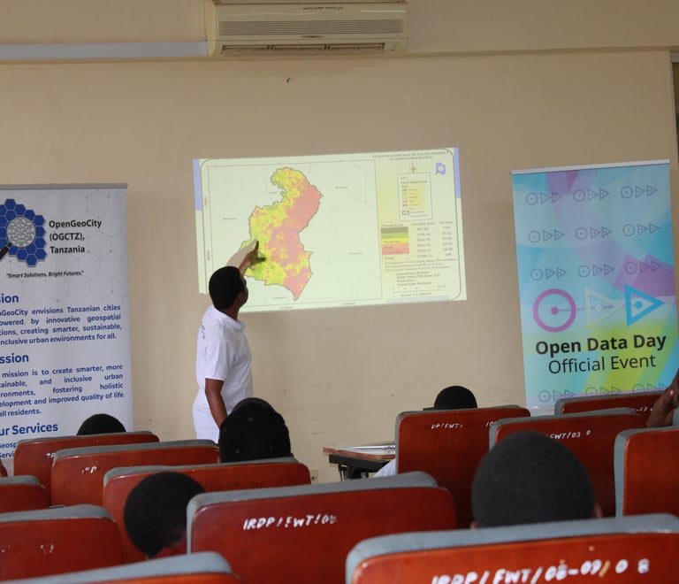
We offer specialized training in GIS, remote sensing, AI, and data science to empower professionals and organizations with cutting-edge geospatial skills. Our programs cover QGIS, ArcGIS, Google Earth Engine, Python for GIS, and AI-driven spatial analysis, ensuring hands-on learning for real-world applications.
Consultation & Advisory Services
We provide expert consultation in GIS, remote sensing, AI, and urban planning, helping organizations make data-driven decisions for sustainable development. Our advisory services include spatial data strategy, smart city planning, environmental assessments, and AI-powered geospatial solutions tailored to client needs.


Advanced Solutions for Industries
We deliver advanced geospatial solutions tailored for industries, integrating AI, big data, and GIS to optimize decision-making in real estate, disaster management, and infrastructure planning. Our services include AI-powered site analysis, predictive modeling for risk assessment, and smart technology solutions for urban and environmental management.
Contact us
Whether you have a request, a query, or want to work with us, use the form below to get in touch with our team.


